Interactive map
Interactive map is an interactive display of geographic information that you can use to tell stories and answer questions. Being a set of web-services, user settings and authorization rules, interactive maps allow solving various specific GIS-tasks: either spatial data management and editing, or metadata representation on the map, or transportation and logistics data management, etc.
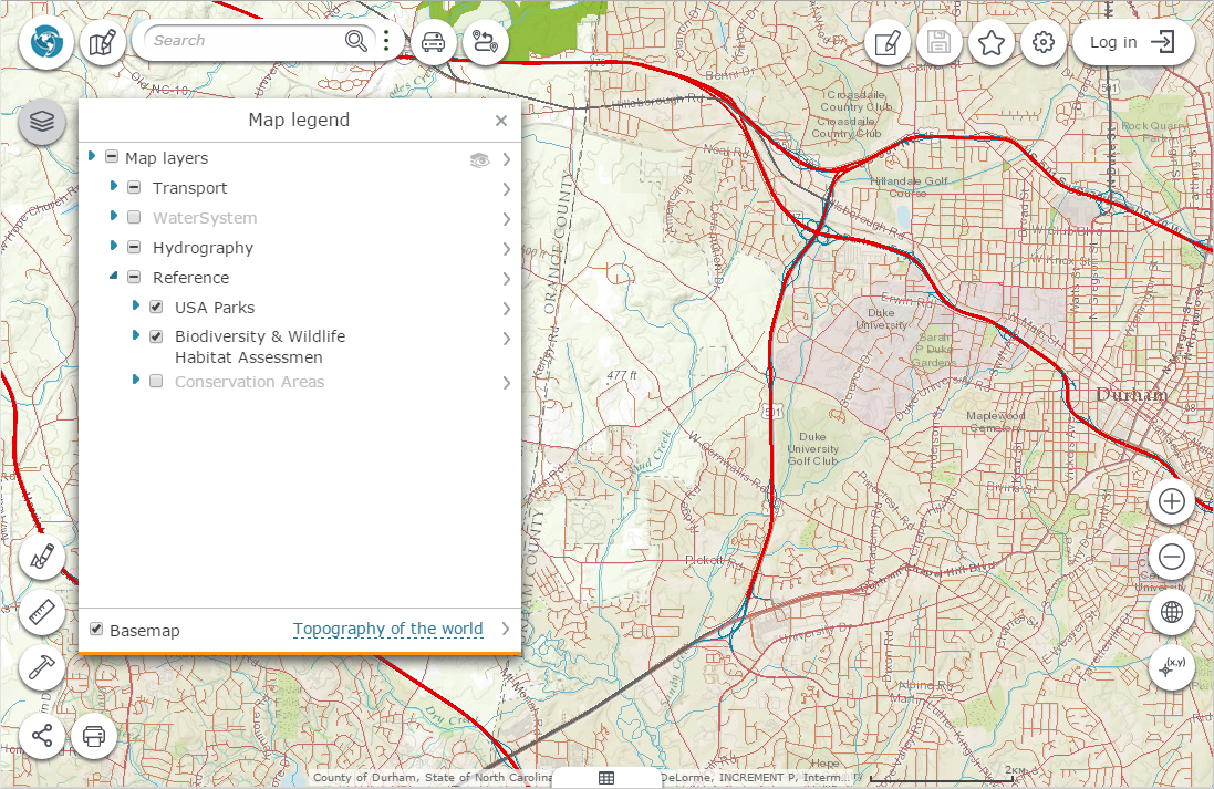
Interface of interactive map consists of the map window, tool buttons and toobars. Location of tool buttons and toolbars can be set for each interactive map separately. The following tool buttons and toolbars can be added to map:
-
Go to interactive maps catalog button
-
Log in
-
Language settings
-
Go to map constructor and interactive map editing button.