


Printing map
The Print map option is provided for saving the specified map extent to file and for printing it.
The option works via the print service that should be added to the map.
The following steps are required to print the map:
Select the Print map option. Specify the map extent to be printed. There are the following ways to select the map extent in the map application.
-
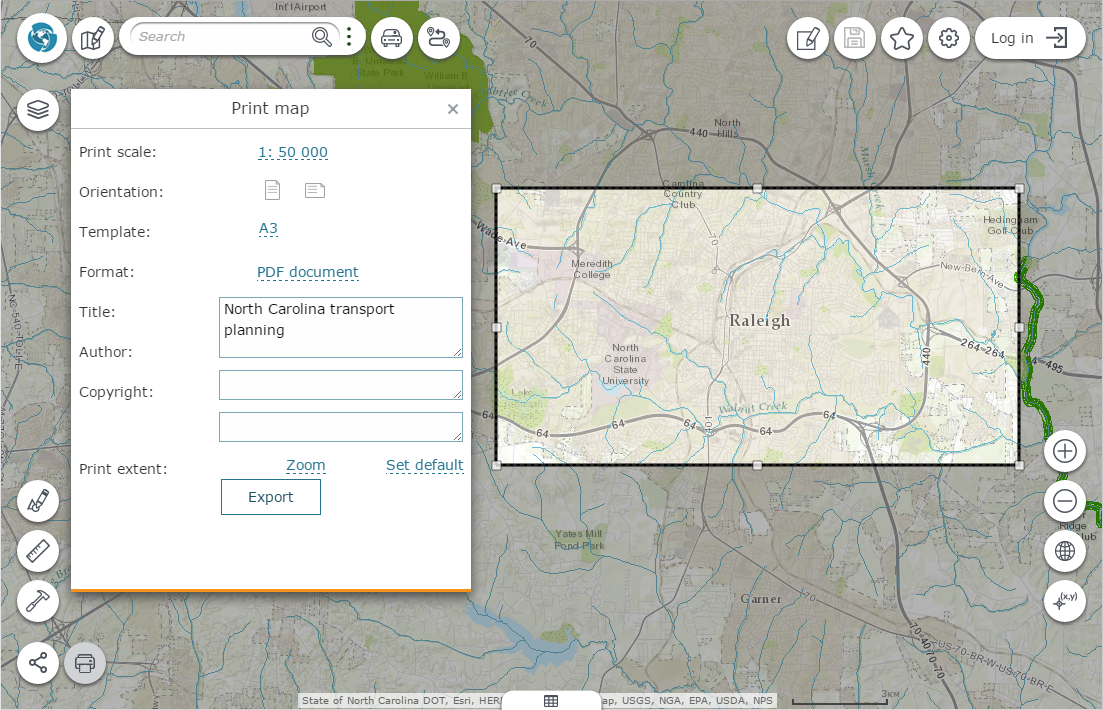
Select the print scale, template and page orientation from the drop-down list, if possible. The print extent will be changed automatically. After that the specified map extent can be moved over the map.
-
Select the print template, page orientation and change the print area on the map randomly by dragging the extent nodes and edges. The random output map scale will be recalculated automatically.
When specifying the print extent, it is necessary to decide about the map display priority - either to show map at the certain scale or to show the required map area regardless of the scale.
Select the document format for saving your map by clicking the appropriate button. In the Title field enter the user map's name, which will be shown as the title of the printed version. By default the title of interactive map will be printed.
Fill in the other description fields, and the specified text will be placed on the map according to the print template.
Click the Export button to export the map to the selected format. After export, the file will be shown in the print history at the bottom of the Print map window. To download the file to local computer, click its name in the list.
To go to the print extent and view it, click Zoom. To reset the print extent to default settings, click Set default.
Open the file for previewing and print it using the standard print dialog.