


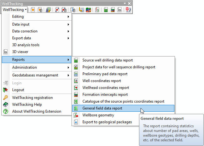
"General field data" report
This type of report contains following statistic about the field:
- Total number of pad areas indicating their geotypes;
- Total number of wells indicating their geotypes;
- Average number of wells in the pad;
- Number of untied wells;
- Number of wells with two or more wellbores;
- Total number of wellbores indicating their geotypes;
- Number of active wellbores without formation interceptss;
- Average drilling depth;
- Maximal drilling depth.
The report is generated as following:
Step 2. Select coordinate system
Step 4. Add map data to report
Step 5. Select file to store report
The appropriate warning messages appear in case of any error occurring during the process.
*****