


"Coordinate systems administration" tool
This tool is intended to specify coordinate systems used while creating different report forms (see Reports section).
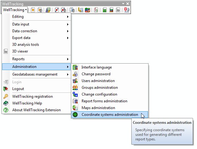
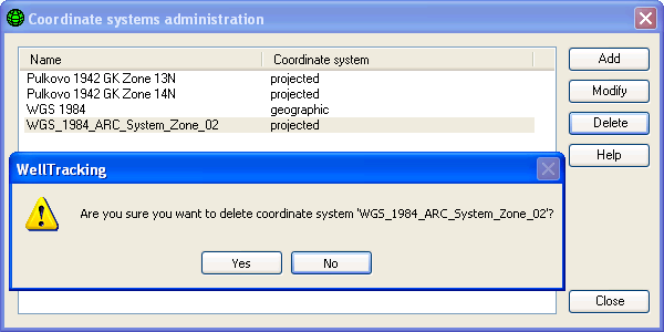
Following dialog appears after clicking the Coordinate systems administration option in the WellTracking Administration menu.
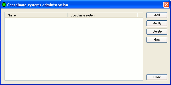
The Add and Modify buttons open the Coordinate system properties dialog, where the horizontal coordinate system name and its parameters are specified.
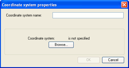
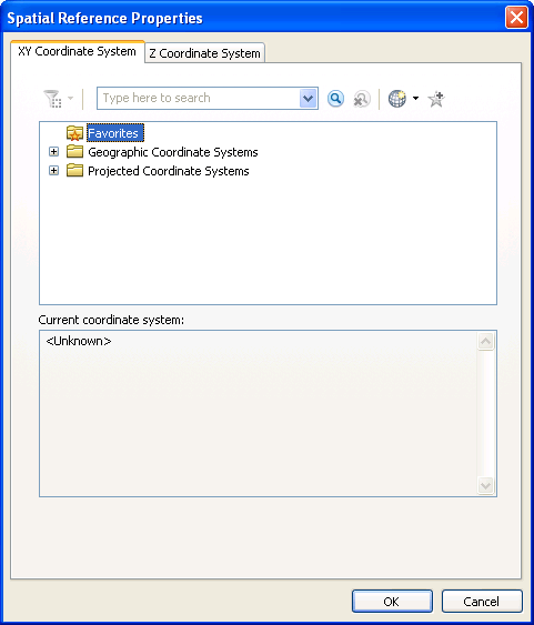
By clicking the Browse button you can open the Spatial Reference System dialog containing the *.prj files with the horizontal projection parameters (XY Coordinate System bookmark).
To delete the coordinate system from the list, click the Delete button.
*****