Editing
The Editing tab contains tools to create, edit, and delete map features. Editing is available only if your project contains the corresponding feature service or CoGIS SOE service with enabled editing option.
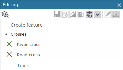
All layers and tables available for editing are shown on the Editing
tab. For each layer the feature types that can be added to the map are
listed. By default the templates provided for creating objects from invisible
layers are hidden. To show templates of invisible layers, press Show templates for visible layers only . To collapse/expand all layers, press Collapse/Expand
button
. To collapse/expand all layers, press Collapse/Expand
button  .
.