


About CoGIS
CoGIS is an ArcGIS for Server-based web-portal for creating and publishing map applications, and performing spatial data editing and analysis.
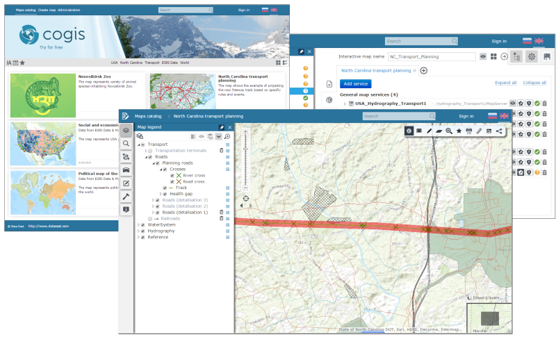
With CoGIS you can:
- Create thematic map applications based on specified web-services with no coding required.
- Arrange interactive maps in a structured catalogue.
- Provide single users and groups with permissions to access and manage maps, services, layers, specific objects, and territories.
- Edit spatial map data via web-interface.
- Enrich your interactive map functionality by adding geoprocessing and spatial analysis tools.