


Step 2. Select wells to be loaded
The next dialog is filled in automatically according to the previously loaded text file of the well.
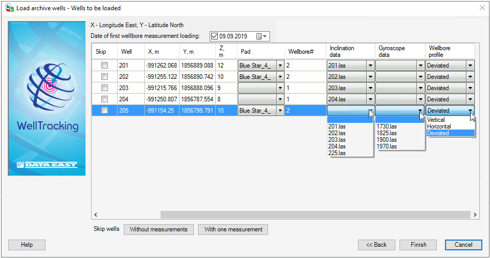
The user can skip wells containing incorrect data by checking the correspondent box in the Skip column.
If the wellbore geometry name contains the wellhead number, the Inclination data and the Gyroscope data columns will be filled automatically, otherwise you will need to manually select the appropriate wellbore geometry from the lists.
To delete all wells missing the inclination and gyroscope measurements press the Without measurements button.
All wells, containing at least one measurement (either gyroscope or inclination) can be deleted by pressing the With one measurement button.
Select the required Inclination data and Gyroscope data, the Wellbore profile and press Finish button to run the loading process.
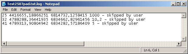
In the folder containing the files with coordinates there will be a *.log file, consisting of list of unprocessed wells. In case if all wells have been processed completely, the *.log - file would not be created.
The features of the WELLBORE_GEOMETRY and WELL layers will be added to the database.
If you previously created pad area, the result will be as following:
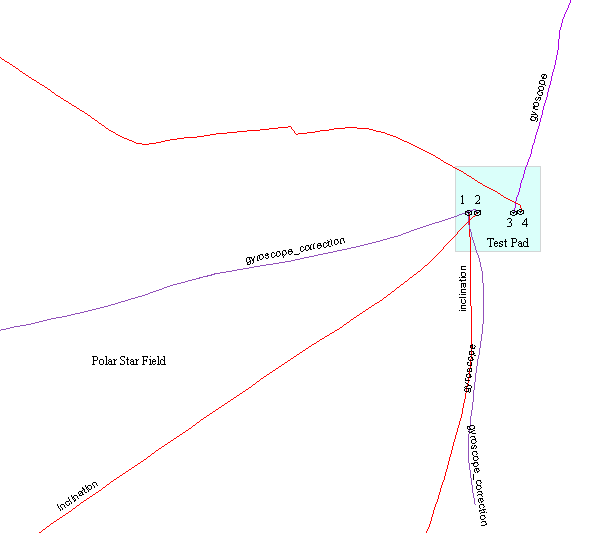
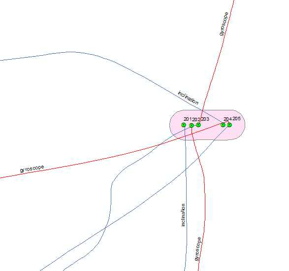
If there is no created pad area, the tool will do it automatically:
*****