


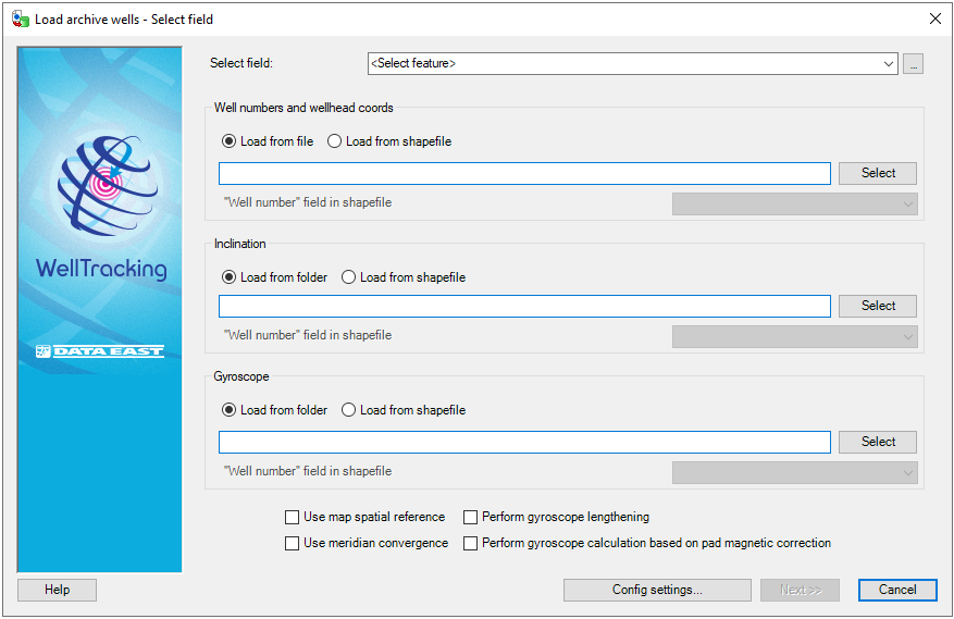
Step 1. Select field
To load the archive wells data specify the path to the folders, containing the required data.
-
The field can be selected from the list of your database fields. If you know the pad area on the map, where the wellheads to be loaded will be located, you can press the Select button and click on this pad on the map. The name of the field will be added to the dialog automatically.
-
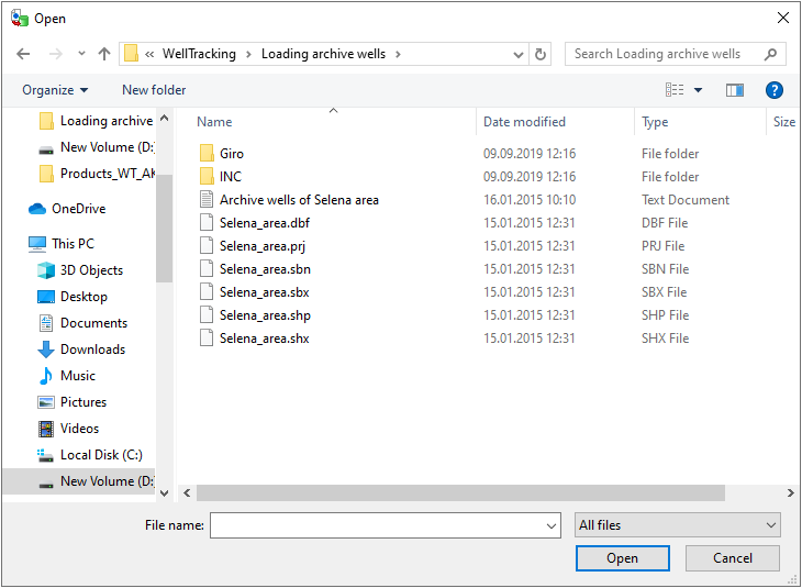
Press the Select button to open the standard Open dialog to select the required file with wells numbers and wellheads coordinates.
-
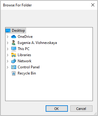
The folders with the inclination and gyroscope data files are also specified by pressing the Select button.
Note:
Unlike the *.inc files the *.las files do not contain the altitude and magnetic correction values, this data is obtained from the field by loading the archive wells.
The following parameters should be considered by the wells construction:
-
Use map spatial reference is specified only when map and geodatabase have different system coordinates.
-
Use meridian convergence is mandatory when your data locates not on the initial meridian.
-
Perform gyroscope lengthening is specified when the gyroscope correction and the inclination measurement values are loaded for the constructed well and when the corrected gyroscope trajectory needs to be calculated.
-
Perform gyroscope calculation based on pad magnetic correction is checked when the gyroscope measurement is done without considering the magnetic correction value.
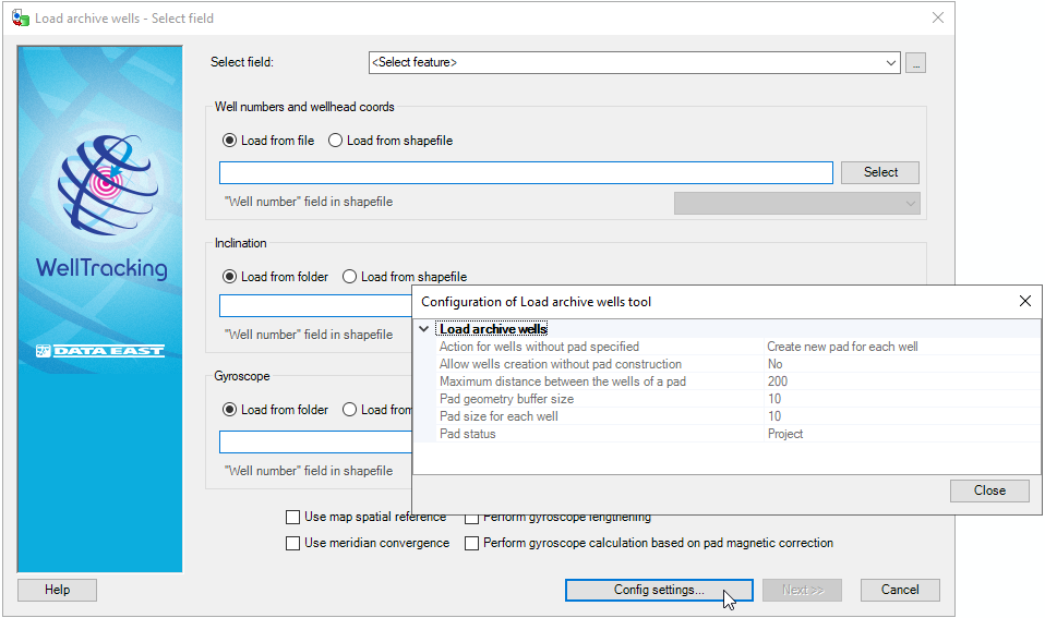
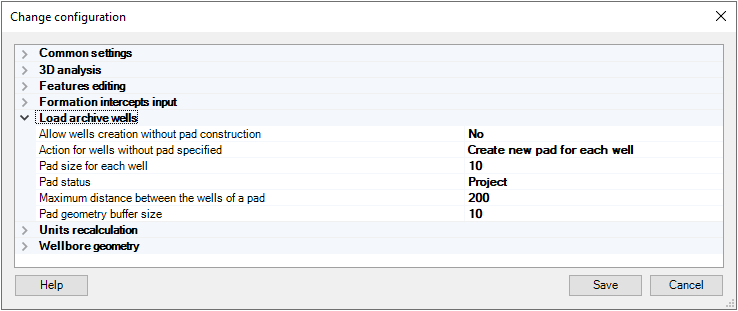
By clicking Config.settings button, Configuration window will pop up with settings made by System administrator in Administration > Change configuration > Load archive wells.
Press Next to move to the final step of loading the archive wells data.
Press Cancel to exit the Load archive wells tool dialog.
*****