


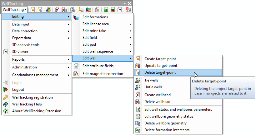
"Delete target-point" tool
The operation Delete target-point is provided to delete wellbores with "project" geotype and target-points.
To delete the existent target-point from the database select Edit well from the WellTracking menu and point to Delete target-point.
Fill in the following dialog:
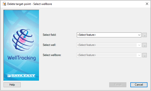
There are two methods of selecting the features: from the appropriate
list of the project features or by clicking Select
button located on the right of the list boxes and then pointing to the
required feature on the map with the cross hair cursor ( ).
This cursor can be changed to a frame to capture larger area on
a map with several features.
).
This cursor can be changed to a frame to capture larger area on
a map with several features.
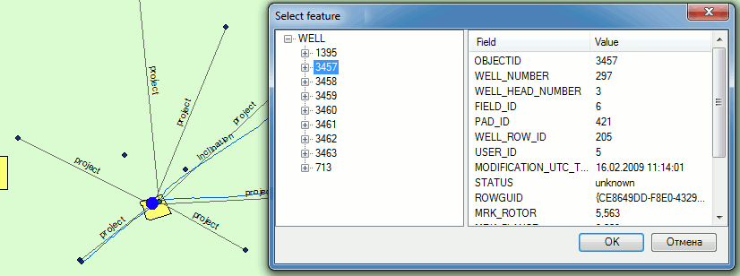
All features, including those partially captured by the frame, are displayed in the feature classes list of the attribute table Select feature. If you select one of the features in the list, it will be highlighted on the map and its attributes will be displayed in the Fields dialog.
You can at first select the wellbore using the frame and the Select feature table (see above) and the field name and the well number will automatically appear in the dialog.
Press the Finish button to complete the operation.
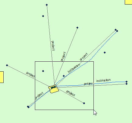
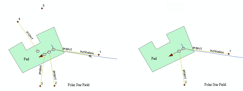
The work of the Delete target-point tool is shown below:
1. The untied target-point №5 was deleted;
2. Since well №4 was tied, it was deleted with the project geometry of its wellbore;
3. The wellhead of well №3 was the last in the wellrow, so it was deleted with the project wellbore geometry;
4. Well №1 has two wellbores. Its wellhead is the first in the wellrow. For wellbore №1 the inclination was built. The project wellbore №2 was deleted.
*****