


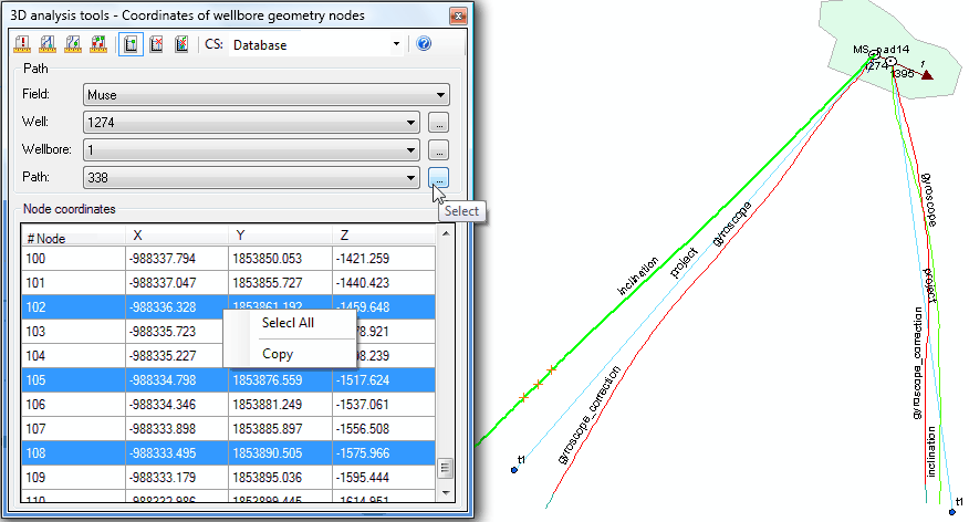
"Coordinates of wellbore geometry nodes" tool
This tool is provided for viewing coordinates of the selected wellbore path.
-
Select the required coordinate system from the list. The nodes coordinates will be shown based on the selected coordinate system units.
-
Specify parameters of the wellbore path. The wellbore path can be specified using the appropriate lists or by selecting the required polyline on the map. The selected path will be marked with green color. The Path text-box contains the OBJECTID of the path specified in the WELLBORE_GEOMETRY table and its status.
The X, Y coordinates of nodes in the resulting table will be specified based on the mathematic model: X-Longitude East, Y-Latitude North. Z coordinate corresponds to the absolute depth value.
If you select any row in the table, the correspondent node on the map will be marked with the small orange cross symbol.
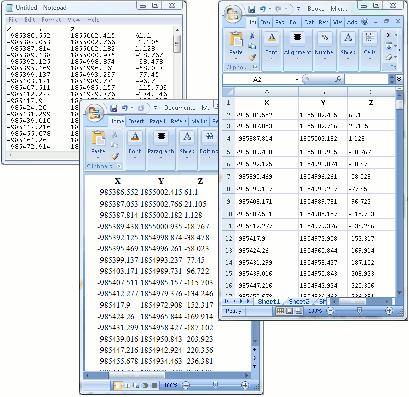
The resulting nodes coordinates of the wellbore path can be copied to clipboard and then opened in Notepad, Word or Excel applications. To do this right-click any row in the table and select Select All and Copy options.
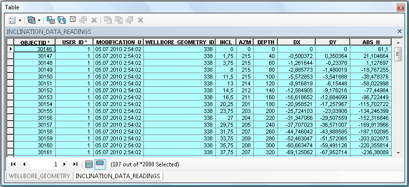
If you work in the database coordinate system, then the coordinates of the wellbore path have already been calculated when you used the Inclination data input tool, so these coordinates have been put to the INCLINATION_DATA_READINGS table.
*****