


"Boundaries intersection" tool
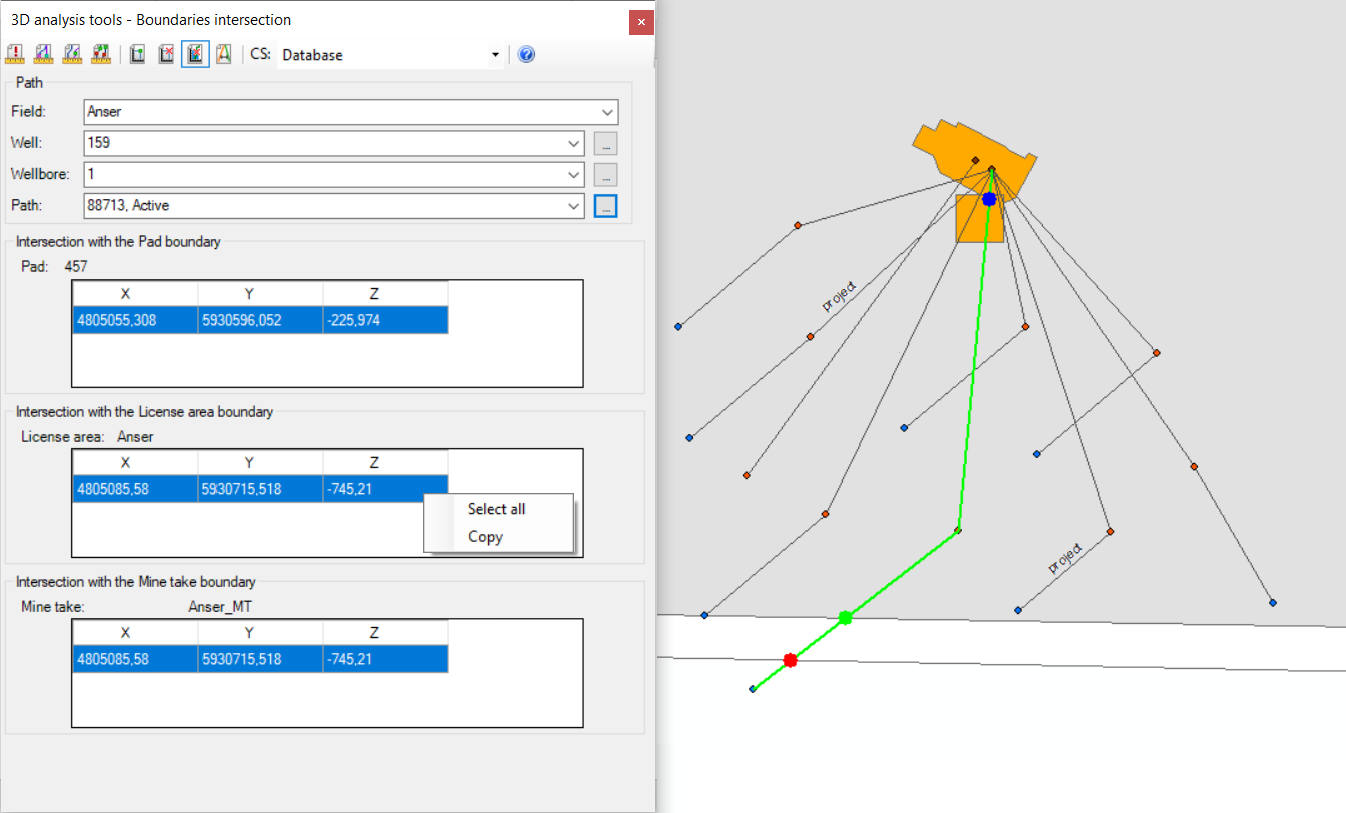
The Boundaries intersection tool is aimed to define the coordinates of the intersection points of the wellbore geometry and the boundaries of the pad, the license area and the mine take..
- Select CS coordinate system from the drop-down list. The units of this coordinate system will be used for calculating the intersection point coordinates.
- Select the required wellbore geometry.
The dialog will be filled in automatically.
-
The X, Y coordinates are specified based on the mathematic model: X-Longitude East, Y-Latitude North. Z coordinate corresponds to the absolute depth value.
-
All intersection point coordinates can be copied to clipboard and then opened in Notepad, Word or Excel applications.
*****