


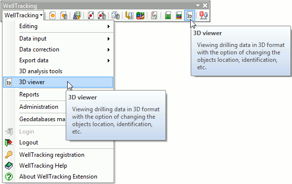
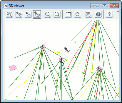
"3D viewer" tool
This tool is provided for visualization and analysis of spatial 3D drilling data. The tool works with all ArcGIS licenses.
The tool can be run either from the main menu prior to system login or using the correspondent button on the WellTracking toolbar.
The tool is enabled even if any other data processing tool is being used.
The current map extent is shown in the preview window. Note that the composite symbology will be displayed as simple symbology.
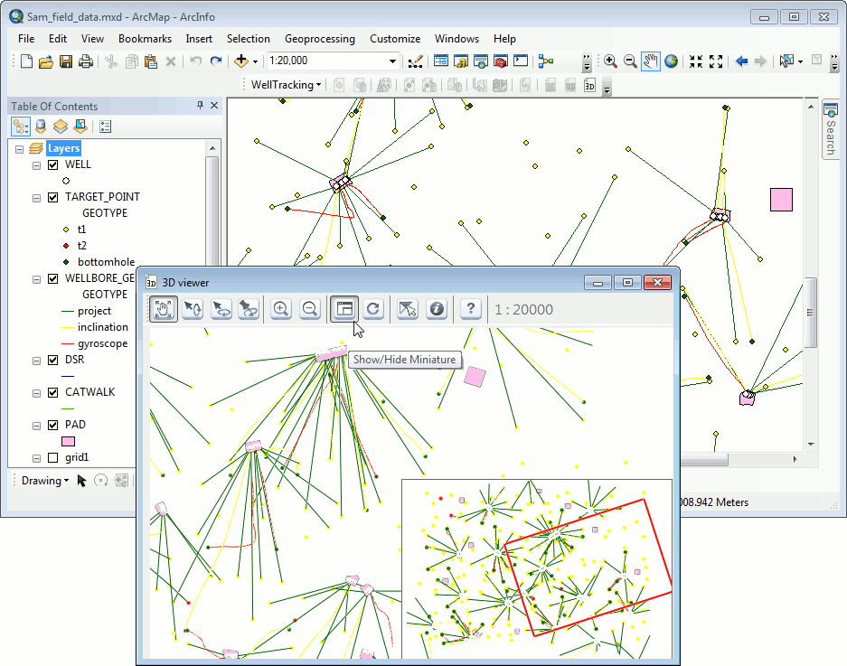
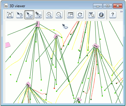
The 3D viewer toolbar contains following buttons:
 - Pan;
 - Skew;
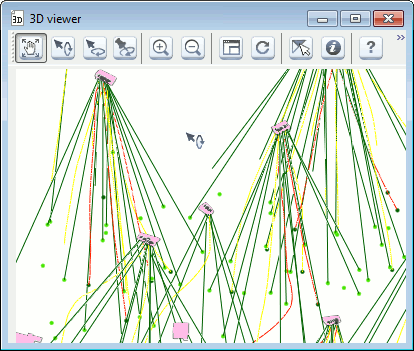
 - Rotate;
 - Center at – allows locating selected
feature in the center of the extent;
- Center at – allows locating selected
feature in the center of the extent;
 - Zoom in;
 - Zoom out;
Tip: feature size can be also changed using the mouse wheel.
 - Show/Hide Miniature;
 - Refresh – press this button after
panning your features in ArcMap so that the correspondent features are
displayed in the preview window;
- Refresh – press this button after
panning your features in ArcMap so that the correspondent features are
displayed in the preview window;
 - Selected Features Only;
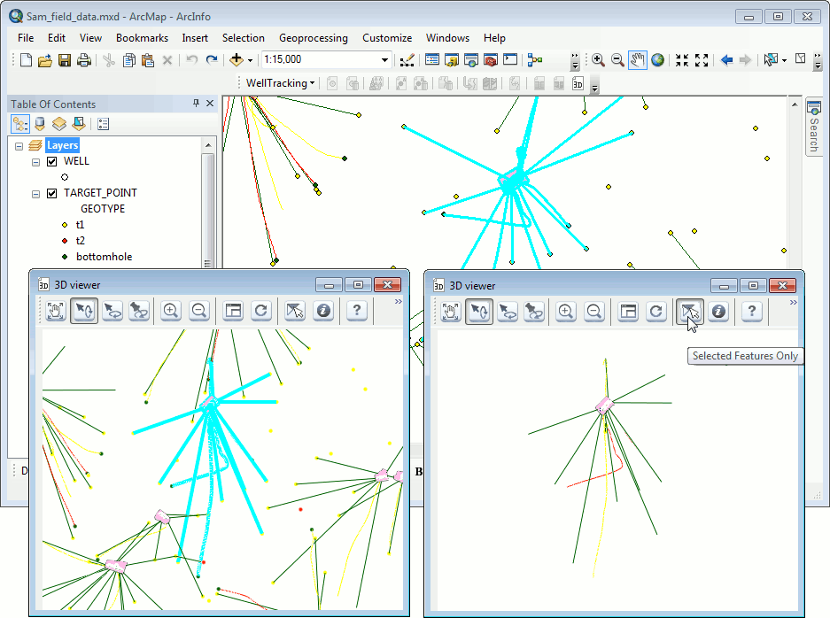
 - Identify – click the required feature
on the map to open the standard ArcMap identification dialog, at that
the selected feature is marked red in the 3D viewer tool dialog and green
in the ArcMap document.
- Identify – click the required feature
on the map to open the standard ArcMap identification dialog, at that
the selected feature is marked red in the 3D viewer tool dialog and green
in the ArcMap document.
 - Help
*****